The Trouble with Tons – Tons of Image Data That is

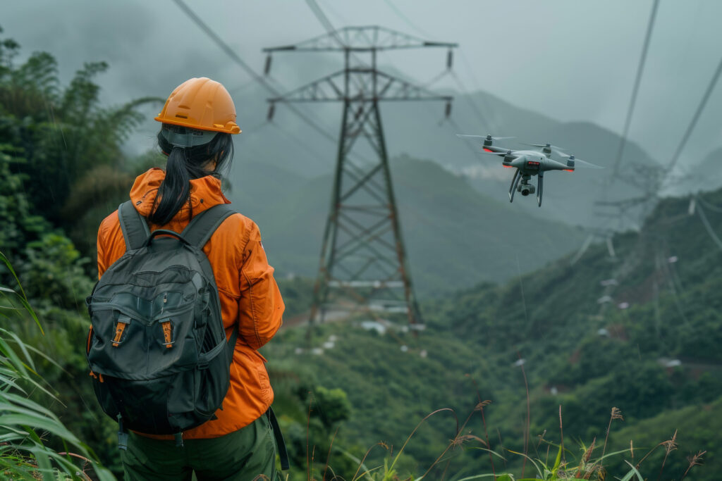
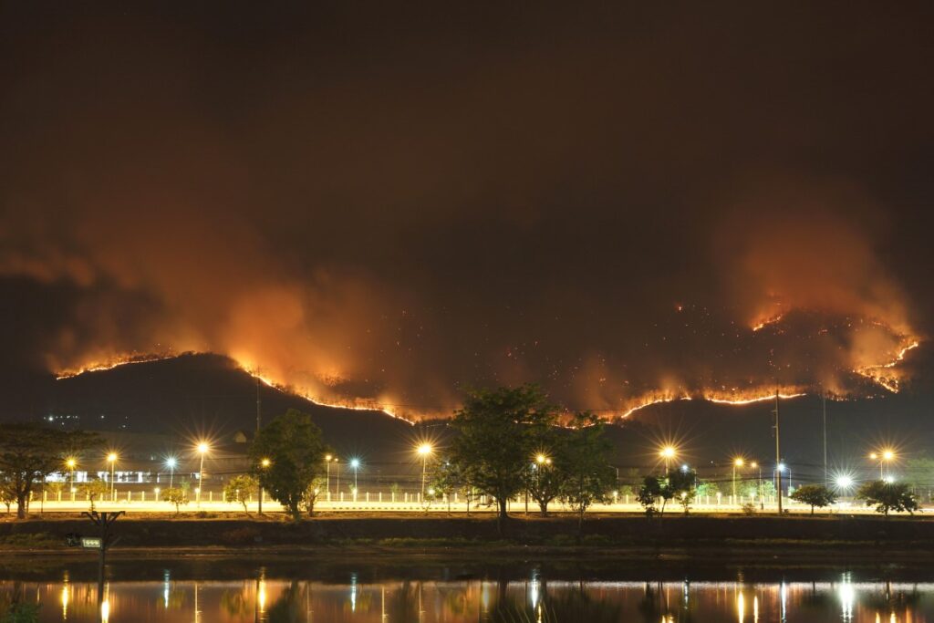
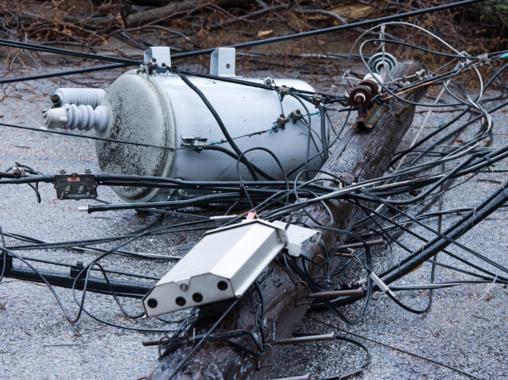
PG&E recently received a CIO 100 Award for Excellence for its creative approach to wildfire risk. The utility applied machine learning to aerial images of transmission towers – PG&E has 2 million – to shorten the time it takes to identify potential risks. PG&E isn’t the only utility that is taking advantage of images. The imagery, (optical, LIDAR[1], spectral, radar, infrared) available through satellite, helicopter, planes or drone in combination with artificial intelligence, shows promise. Damage assessment, asset inspection and vegetation encroachment are typical uses. The trouble is with handling the data.
Here is a bit of information about the analytics associated with imagery: Video and image analytics are a form of computer-vision. Computer vision inputs images – think JPEG files or camera feeds – and outputs task-specific knowledge, such as object labels and coordinates. For example, still images can be analyzed to detect objects and identify what they are. Recently, computer vision has evolved to include faster convolutional neural networks (CNN) that significantly improve accuracy, speed and inference.
Here are some things to look for when preparing to use imagery data for analytics:
- LIDAR data is Big Data. It took one large utility two years, working with IT and cybersecurity business units, to figure out how to transfer and store large blocks of data. Another utility found that handling and storage of LIDAR – a 3-D point cloud – requires an entirely different architecture.
- Video data can be tricky. Communications bandwidth limitations and high latency may be an obstacle preventing streaming data from being processed centrally. In those cases, analytic teams will need to investigate doing more “at the edge”.
- Just because you have lots of data doesn’t mean you have enough data. More often than not, there are gaps in the data required. Sampling may help to fill the gaps. The good news is that the more often machine learning is run, the more data you have to feed subsequent runs.
- GPS matching is not a given. Imagery data demonstrates value when paired with other data, such as GIS and weather data. Aligning the data is not a given. The location of utility assets logged in GIS can be off by tens of meters from their actual locations.[2]
- Each imagery source has different costs, resolution and sample frequency. It is critical to know what data is needed to address the business problem. For example, satellite data may show trees from overhead but will not, on its own, determine whether vegetation is encroaching on utility equipment. A lateral or bottom up perspective will be needed. A high-resolution survey taken three years ago will not capture changes that have occurred since that time.
As with every investment, it is important to weigh the costs associated with data sources, as well as maintaining the data. It is still early for video and image analytics. Some utilities have chosen to experiment with handling the data on their own. Others have looked to vendor platforms that offer analytics, plus acquisition and management of imagery data.
[1] LIDAR (Light Detection and Ranging) is a remote sensing method that uses light in the form of a pulsed laser to measure variable distances to the Earth.
[2] Eyes in the Sky: Satellite Remote Sensing and Data Analytics for Electric Utilities, September 2019, page 8.


